
GIS / Geospatial
3 achievements
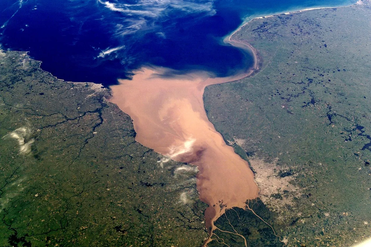
Photo: WikiImages / Pixabay 
Photo: JoshuaWoroniecki / Pixabay
-
Automated GIS SaaS deployment with GitHub Actions
Automated GIS SaaS application deployment, data processing, and reporting system using GitHub Actions CI/CD, Python, Bash, and SQL.
-
Automated delivery of 20 GIS data pipelines
Automated delivery of 20 GIS data pipelines and app data ETL processes, streamlining infrastructure automation and reporting.
-
A mapping product, carried end to end
Architected, developed, implemented, supported infrastructure, data processing, and the map application for 2 years non‑stop without any weekends, holidays, or vacations, 10–14 hours a day.
If this is the work you need done, the next step is a conversation.
Tell us the problem and we will tell you honestly whether we are the right people.
This work is part of what we offer as Data Pipeline Development (ETL/ELT), GIS & Geospatial Solutions, DevOps & CI/CD Automation, Full‑Stack Product Development, Platform & Solution Architecture and Site Reliability & Monitoring.
 Building something that needs this? Get in touch.